This page provides live environmental monitoring data for Tithebarn, drawing on data from South West Water and the Environment Agency. Information is updated automatically throughout the day.
No issues currently reported
Updated: 02 Apr 2026 02:08 UTC
Sewer overflow status
The Langaton Lane combined sewer overflow (CSO) is permitted to discharge untreated sewage into the Pinn Brook that runs through Minerva Country Park during periods of heavy rainfall when the sewer network is overwhelmed. The data below is sourced from South West Water's real-time EDM (event duration monitoring) equipment.
No overflow detected
Last discharge: 18 Feb 2026 18:50 UTC — lasted 43m
Updated: 02 Apr 2026 01:30 UTC • Source: South West Water
River levels
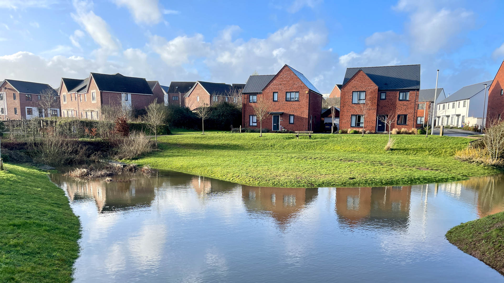
The River Clyst is the main watercourse to the east of Tithebarn. The charts below show the water level at the two nearest Environment Agency monitoring stations over the last 72 hours. Dashed lines indicate the typical low and high range for each station.
Withy Bridge (River Clyst)
0.181m at 02 Apr 2026 01:30 UTC Typical 0.099m–1.300m
Clyst Honiton (River Clyst)
0.696m at 02 Apr 2026 01:30 UTC Typical 0.611m–1.700m
River level data © Environment Agency • Last checked: 02 Apr 2026 02:00 UTC • Check flood risk
Flood warnings
The Environment Agency issues flood alerts, warnings, and severe flood warnings for specific areas. The status below reflects current alerts for the flood areas around Tithebarn. None of the flood warning areas apply to residential areas in Tithebarn.
No flood alerts or warnings currently in force for monitored areas near Tithebarn.
Last checked: 02 Apr 2026 02:02 UTC
Data is provided for informational purposes. For the latest official flood guidance visit check-for-flooding.service.gov.uk.